Category
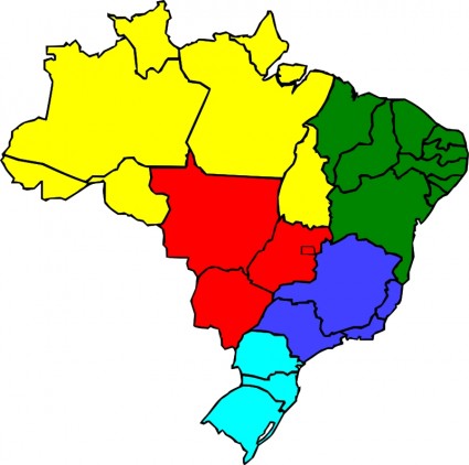
| KEY WORDS: | Map Color Brazil Brasil State Region Geography |
| Help Us To Add Keywords: | |
| File Format: | Open office drawing svg ( .svg ) format |
| File Size: | 105KB |
| Reference Links To Resources (Which Web Site Captch This Resource) | |
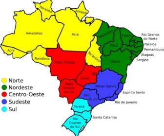
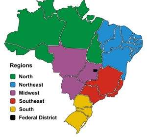
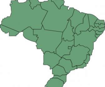
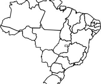
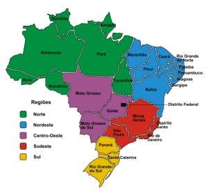
| Resource Information: | A map of Brazil with state lines drawn and different regions (North, Northeast, Center-West, Southeast, and South) colored. Drawn in Inkscape based on a Brazilian government (IBGE) work. |
| Share With Friends (If You Feel This Site Helpful, Please Click The Left Social Buttons To Share It With Your Friends Thank You!): | For more people use free resources, please share this page ,use below button |
| Voting For This Design Works: | 1 9 people votes
|
